Asheville is home to some of the oldest and most biodiverse ranges in the world. Located alongside the Blue Ridge Mountains and the Appalachian Trail, Asheville is surrounded by some of the best hiking in the country.
10 of the Best Hikes in Asheville, North Carolina
Asheville, North Carolina is an outdoor lover’s playground. Settled into the southern Blue Ridge Mountains, there’s no shortage of hikes in and around Asheville.
Though the mountains surrounding Asheville lack the snow-covered, rock-faced peaks that define the west, they are some of the oldest and most biodiverse ranges in the world.
The magic of the Blue Ridge Mountains may take a little more time to discover, but these best hikes in Asheville will introduce you to the most stunning scenery, plants and wildlife Western North Carolina has to offer.
-
Max Patch

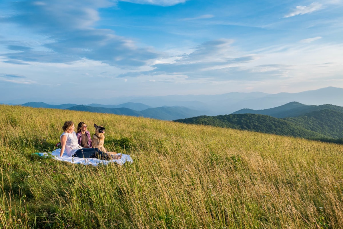
Max Patch, located near Hot Springs, is a very popular hike in Asheville for locals to visit on weekends. One of Asheville’s most popular hikes, the summit of Max Patch can be reached by a short trail that begins in the Max Patch parking area. In the warmer months, the top is a popular place to pitch a tent.
Whether you’re spending the night or just coming for the day, Max Patch’s 360-degree views are something to behold. To extend your hike, head out on the white-blazed Appalachian Trail, which runs right across Max Patch’s grassy bald.
If you want to refuel after your time on the trail, check out the coffee shops and restaurants in the nearby town of Hot Springs, less than an hour away.
Difficulty level: Easy to Moderate
Location: Max Patch Road, Hot Springs, NC.From Asheville, take 1-40 W to the Harmon’s Den exit (exit 7). Turn right on Cold Springs Road for 6.2 miles then take a left on Max Patch Road (SR-1182). In about 1.5 miles the parking area will be on your right. Note that the road to Max Patch is gravel and 4WD is recommended in snowy or wet weather.
GPS coordinates: 35.7970° N, 82.9568° W.
When to go: This easy hike is accessible year-round and wows in all seasons. Surely one of the best hikes in Asheville. -
Grandfather Mountain
Grandfather Mountain State Park is an ecological jewel of the south. Within the park, there are 73 rare or endangered species, and the park is a part of the United Nations international network of Biosphere Reserves.
There are 12 miles of trail at Grandfather Mountain, many of which require hikers to climb ladders or scramble across exposed ridgelines. One favorite, the Grandfather Trail, is a difficult climb that ends at Calloway Mountain, the highest point in the park.
If you’re looking for an easy hike with spine-tingling views, check out the Swinging Bridge Trail. This mile-high trail has America’s highest suspension footbridge and, while it is not a part of the Grandfather Mountain State Park, it is an adjacent privately owned attraction.
Difficulty level: Easy to Difficult depending on the trail
Location: 9872 North Carolina 105, Banner Elk, NC 28604
When to go: The weather is typically cool at Grandfather Mountain, so head to the park in the summer months when temperatures have warmed. -
Craggy Gardens

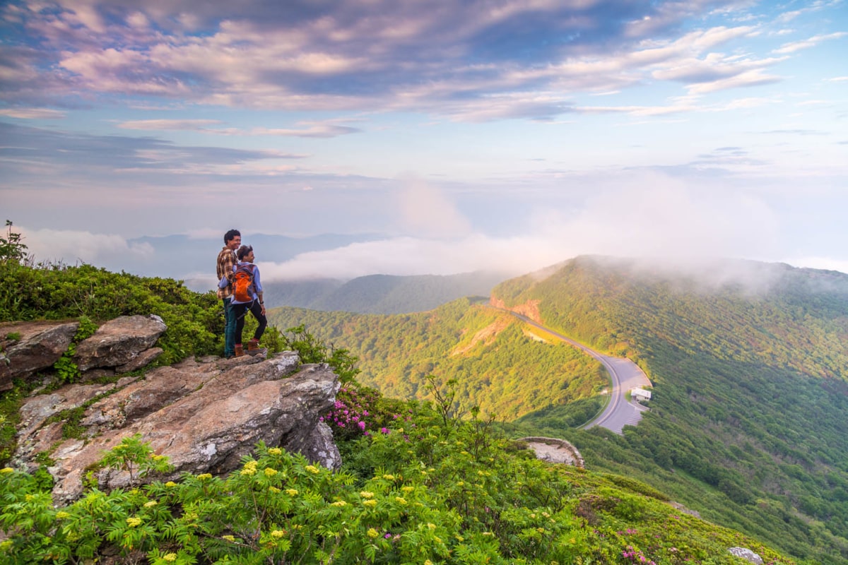
Hiking at Craggy Gardens, Blue Ridge Parkway. Twenty miles down the road from downtown sits the Great Craggy Mountains, a scenic Asheville hike easily accessed from the Blue Ridge Parkway.
Leave your car at the Craggy Mountain Visitors’ Center and find the Craggy Gardens trailhead in the southwest corner of the parking lot. The short hike to Craggy Gardens reveals a wind-whipped bald with gnarled trees and views in all directions. If you’ve got the time, pack a picnic and spend an hour or two here lounging in the sun.
When you’re ready to stretch your legs, return to your car and drive one mile north to the Craggy Pinnacle parking area. The 0.7-mile trail to the summit offers some of the best views in Western North Carolina.
Difficulty level: Easy
Location: Milepost 364 on the Blue Ridge Parkway
When to go: Head to Craggy Gardens in June when the blooming Catawba rhododendrons put on a show. -
Chimney Rock

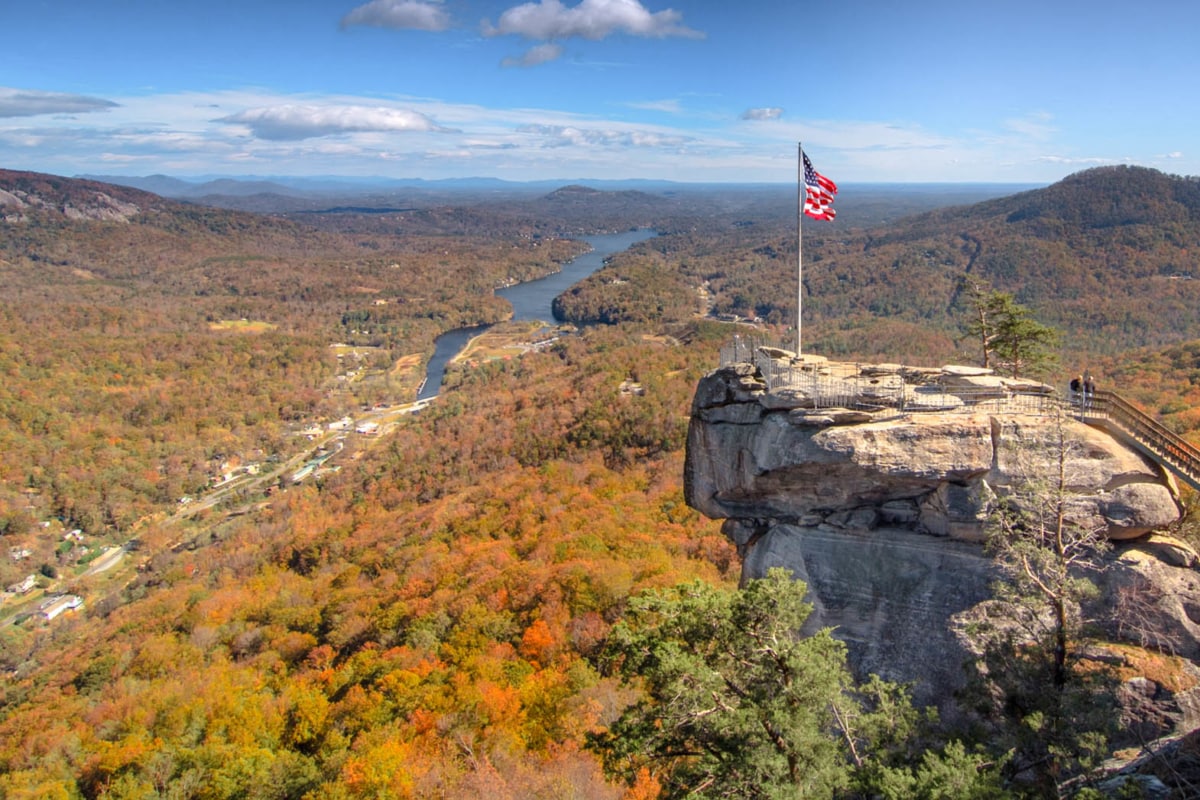
At the top of the Chimney Rock hike. Located 25 miles southeast of the city, Chimney Rock State Park is one of the best hikes in Asheville.
Visitors come from all over the world to climb Chimney Rock and conquer its famous 315-foot monolithic rock formation. Take note that visitors to Chimney Rock must also pay a $13 fee. The cost of admission is worth it, though, even with that gut-busting climb to the top of the rock.
After summiting Chimney Rock, enjoy a hike on one of the park’s six additional trails. If you’re feeling stingy, or just want to enjoy the scenery in a less-populated area, head to Rumbling Bald—an admission-free area of the park popular with rock climbers.
Difficulty level: Difficult
Location: Highway 64/74A Chimney Rock, NC 28720
When to go: Make the climb up Chimney Rock in October when fall colors are at their peak. -
Bearwallow Mountain

Bearwallow Asheville Hike. Less than 20 miles from downtown, Bearwallow Mountain is a popular hike in Asheville and one of the newest hikes in the Hickory Nut Gorge region.
A moderate one-mile trail leads to the summit where hikers can relax on the mountain’s 4,232-foot grassy bald. Hikers looking for a longer walk can combine this trail with the Trombatore Trail to create a seven-mile loop.
In addition to the great views, Bearwallow Mountain is also home to an abandoned fire lookout tower. Though you may be tempted to climb it, the tower is closed to hikers (if there’s a ranger nearby, you’d likely be fined if caught).
Mt. Mitchell, the highest peak in North Carolina, and also Mt. Pisgah are both visible from the top Bearwallow Mountain which certainly makes this a well worth it hike in Asheville.
Difficulty level: Moderate
Location: Bearwallow Mountain Road, Henderson County.From Asheville, take I-240 E to US Hwy 74-A E toward Chimney Rock for 12.5 miles to the town of Gerton. Turn right on Bearwallow Mountain Road. After 2.1 miles park on the side of the road near a gate.
GPS coordinates: 35°27’38.3″N 82°22’04.3″W.
When to go: This Asheville hike is great in the winter, even when it’s snowing. -
Black Balsam

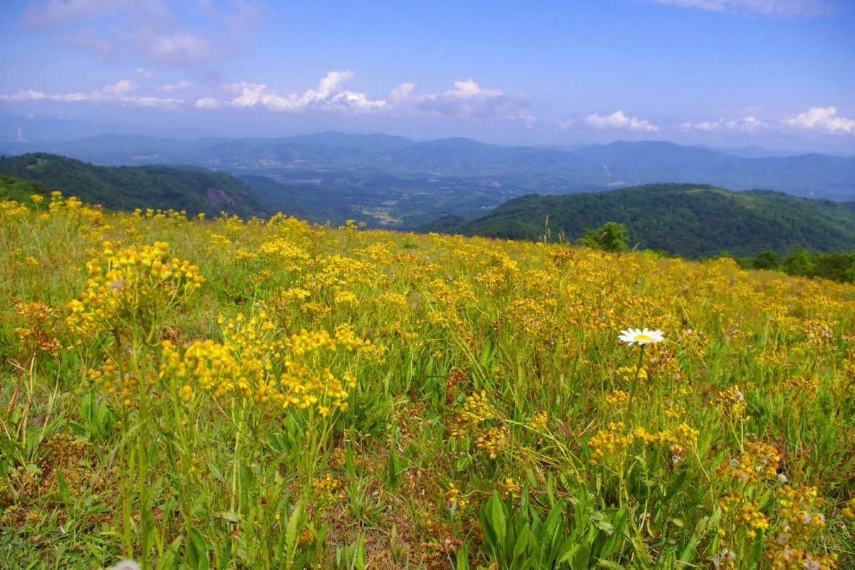
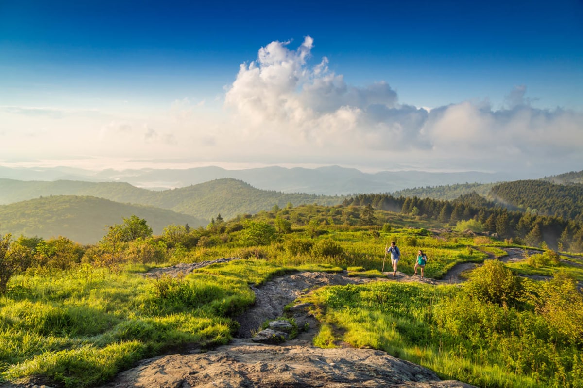
Hiking around Asheville—Black Balsam. There’s perhaps no more of an iconic Asheville hike than Black Balsam Knob. This popular, and also populated, trail offers sweeping views of the Shining Rock Wilderness Area and the southern Blue Ridge Mountains.
If you have the energy, loop your way over to Tennent Mountain and then also back to the parking area for an excellent and scenic 5-mile loop hike. The hike from Black Balsam to Tennent Mountain is extraordinary, offering 360-degree views the entire way.
Difficulty level: Difficult
Location: Look for the Black Balsam sign near milepost 420 of the Blue Ridge Parkway
When to go: Spring, summer, and also fall are all great times to visit Black Balsam. The trail is inaccessible in the winter when the Blue Ridge Parkway is closed. -
Devil’s Courthouse
There are two ways to access the excellent views at the 5,720-foot peak of Devil’s Courthouse. The easiest route is located at milepost 422.4 of the Blue Ridge Parkway. Climb the tough but short half-mile trail to the overlook where panoramic views of the mountains await.
For hikers hoping for a longer trek to the summit, a 4.3-mile round-trip hike on the Mountains to Sea Trail allows you to earn your view and a great microbrew once you’re back in Asheville.
To access this trail, leave your car at the large pull off on NC 215 north. If you reach the spot where the Mountains to Sea Trail crosses the road you’ve gone too far.
Difficulty level: Difficult
Location: Milepost 422 of the Blue Ridge Parkway
When to go: Head to Devil’s Courthouse in October or November when fall colors are at their peak. -
Fryingpan Mountain Lookout Tower

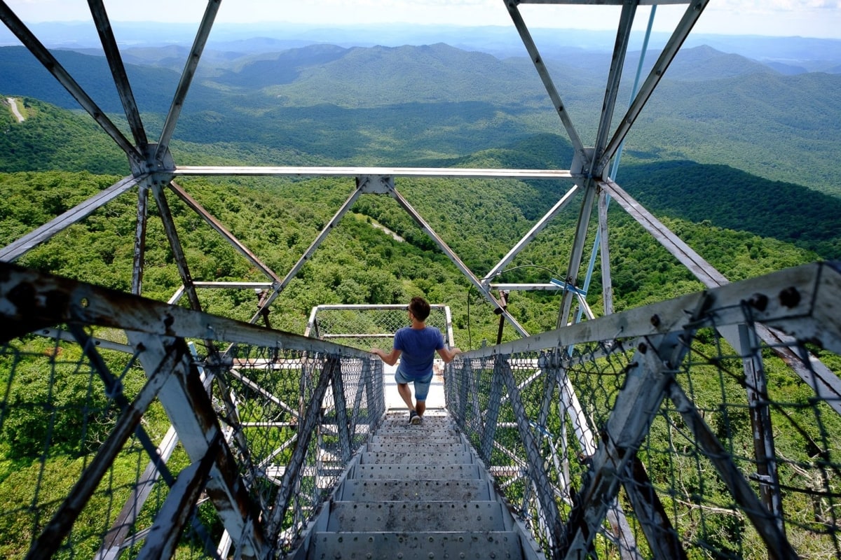
On top of the Fryingpan Tower Lookout Just when you think the top of a mountain is as high as you can go to snag great views, Fryingpan Mountain Lookout Tower takes you even higher.
Perched atop Fryingpan Mountain, this lookout tower offers soaring views of Looking Glass Rock, Cold Mountain and also Mt. Pisgah. The trail to Fryingpan Mountain is located off of the Blue Ridge Parkway and is only a 1.5-mile round-trip ramble.
Though the top of the tower is locked, peak seekers can still climb five flights of stairs for a birds-eye view of the Blue Ridge.
Difficulty level: Moderate
Location: Milepost 409 of the Blue Ridge Parkway
When to go: Climb the tower in the springtime to watch the green return to the trees. -
Waterrock Knob
Asheville’s hiking territory stretches all the way to the Great Smoky Mountains and, if you decide to take a day trip to the popular national park, Waterrock Knob is a great place to stop along the way.
There are only 40 mountains in North Carolina over 6,000 feet, and Waterrock Knob is one of them. In fact, this scenic knob is the highest point on the parkway.
Hikers set off on this 1.2-mile round-trip trail to snag views of the Maggie Valley and count peaks to the east and west. When you’re done with your hike, make sure to stop by the Waterrock Knob Visitors Center to learn more about this special area.
Difficulty level: Moderate
Location: Milepost 451 of the Blue Ridge Parkway
When to go: Waterrock Knob is spectacular in every season but parkway closures block access to the trail in the winter months -
Cowee Mountains Overlook

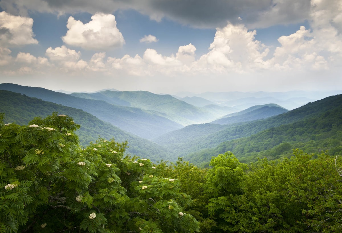
Blue Ridge Parkway Scenic Mountains Overlook—One of Asheville’s famous hikes. Though there’s no hiking trail at this Blue Ridge Parkway overlook, it’s a photographer lover’s dream. Park in the large lot at milepost 430.7 and take in the panoramic view of the Cowee Mountains.
Sunrise and also sunset are particularly stunning at this overlook, and it’s common to spot amateur and professional photographers alike waiting for Mother Nature’s twice-daily show.
In late spring and also early summer, the purple and pink Catawba Rhododendrons are in bloom, adding a splash of color to your photographs and also a visual treat in real life.
Difficulty level: Easy
Location: Milepost 430 of the Blue Ridge Parkway
When to go: Head to the overlook in early summer when the rhododendrons are in bloom.
Whether you’re looking for a gut-busting climb up North Carolina’s scenic mountains or an easy one-hour reprieve from the hustle and bustle of downtown Asheville, these Asheville hikes are sure to please. Stuff your gear in your backpack and then proceed with pleasure.
READ MORE:
Asheville Hiking FAQs
-
Does Asheville have good hiking?
Asheville is a true trail town with tons of amazing hiking nearby.
-
Can you hike at Biltmore for free?
To hike at Biltmore, you have to purchase a pass.
-
Does Asheville NC have waterfalls?
There are several amazing waterfall hikes near Asheville.
-
Is Asheville in the Blue Ridge or Smoky Mountains?
Asheville is surrounded by the beautiful Blue Ridge Mountain Range.
-
What is the best hike in Asheville?
Max Patch and Grandfather Mountain are two of the best hikes in Asheville, NC.

Great destination you suggested of north Carolina for hiking. these places are full with beautiful things and have so many good things to enjoy.
The Black Balsam hike is just incredible. I wish more people knew about it. If anyone is thinking of going, the loop to Tennent Mountain is well worth the extra energy! Thanks for sharing this with us Jeremy.
Hi Jeremy! Waterrock knob is one of my favorites! It has amazing views and there is actually an old airplane crash right off of the trail (which can be a bit tricky to find due to weeds). Thanks for the useful list of hikes! I am always looking for new ones to try out around Asheville
Whoa, I’ll have to go looking for that airplane! I had no idea—thanks for the tip. Glad you found the list useful 🙂